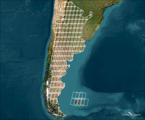
Annual land cover and land use map collections in Argentina:
September 2025
Collection 2
18 classes covering the period 1985-2024
May 2024
Collection 1
15 classes covering the period 1998-2022
ATTENTION: MapBiomas Argentina maps are products of evolution. Make sure you always use the latest version available. It is recommended to use MapBiomas Argentina maps up to a scale of 1:100,000. Although it is possible to view them at a larger scale (1:50,000), we do not recommend using them at this scale.


