
Es el resultado de la colección 1 de mapas anuales de cobertura y uso del suelo entre 1998 y 2022 generado por MapBiomas Argentina
En los últimos 25 años, en Argentina se perdieron 7,6 millones de hectáreas de vegetación natural que incluye tanto árboles como arbustos (leñosas) como pastizales principalmente concentradas en el norte del país, en las provincias de Santiago del Estero, Salta, Chaco y Formosa, lo que equivale a 3 veces la provincia de Tucumán. Estos datos fueron revelados a partir de la colección 1 de mapas anuales de cobertura y uso del suelo entre 1998 y 2022, generados de forma gratuita y pública por MapBiomas Argentina en su lanzamiento reciente.
La plataforma ofrece una visión inédita del territorio argentino en un contexto de vulnerabilidad climática vinculada a sequías e inundaciones en distintas regiones del país. Reúne información sobre la cobertura y uso del suelo en el país, relevando áreas de vegetación natural leñosa, cuerpos de agua, pastizales, estepas, forestaciones y áreas de agricultura y pastura entre otros. Proporciona información esencial para la investigación y contribución al desarrollo sostenible del país. Permitirá mejorar la gestión y monitoreo de los recursos naturales respaldando de manera sólida la planificación territorial y las estrategias de conservación de la naturaleza y su biodiversidad.
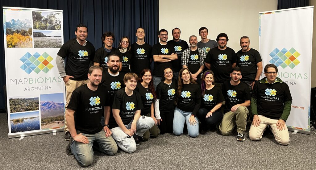
La iniciativa es una colaboración de expertos y expertas en teledetección y recursos naturales de institutos de investigación y organizaciones de la sociedad civil que, mediante el procesamiento de imágenes satelitales, generaron esta primera colección de 25 mapas anuales con 15 clases de cobertura y uso del suelo. . “La metodología de MapBiomas propone un trabajo cíclico, en cada colección existe un aprendizaje que es incorporado por el equipo para que los próximos mapas sean mejores a la vez de sumar nuevos desafíos” ANA
Algunos de los datos extraídos de la Colección 1, “MapBiomas Argentina: Construyendo una red colaborativa para el mapeo de la cobertura y uso del suelo(1998-2022)”, revelan que:
- La vegetación natural representa un 70% del país y el 28% es leñosa cerrada y abierta (79 Mha). El componente leñoso incluye árboles y arbustos que pueden encontrarse distribuidos de forma más o menos concentrada en el paisaje.
- La pérdida de Leñosas Cerradas se concentró en el norte del país, en la provincias de Santiago del Estero (2,1 Mha), Salta (1,5 Mha) y Chaco (870 mil ha)
- Las clases de uso antrópico como la agricultura, la ganadería y plantaciones forestales cubren 55,5 Mha, equivalentes a dos veces la provincia de Buenos Aires.
- Entre 1998 y 2022, la superficie agrícola aumentó 5,2 Mha y las pasturas 1,4 Mha; mientras que las plantaciones forestales aumentaron un 37%.
- El 97% de la Patagonia es vegetación natural y área sin vegetación (80,5 Mha). A nivel local podemos observar patrones interesantes como la desaparición del lago Colhue Huapi y la pérdida de bosques patagónicos.
¨Dos de las principales novedades que trae MapBiomas como red en cada país miembro es, la generación de información sólida metodológicamente y disponible de forma gratuita y, el trabajo colectivo de profesionales de distintas instituciones cuyo compromiso es generar información por un bien común¨; destaca Mayra Milkovic Secretaria de la Red Global MapBiomas.
Información sobre las regiones:
En la región del Noroeste (NOA) – Jujuy, Salta, Tucumán, Catamarca y Santiago del Estero; el cambio más significativo fue la disminución de la clase leñosa cerrada en Santiago del Estero (2,1 Mha). Desde el año 1998, se ha perdido cerca del 10% de la vegetación natural de la región (3,6 Mha). Mientras que, la superficie del área agropecuaria aumentó un 16% (7,5 Mha).
En el Noreste (NEA) – Chaco, Formosa, Corrientes y Misiones; la provincia con mayor aumento en la superficie agropecuaria fue Formosa destacándose el aumento en las pasturas. lLas plantaciones forestales de Misiones aumentaron un 50% (100 mil ha). En términos de pérdida, Chaco perdió el 15% de su cobertura natural de Leñosa Cerrada mientras que en Corrientes la pérdida fue del 8% de sus pastizales (281 mil ha).
La región del CENTRO – Buenos Aires, La Pampa, Córdoba, Santa Fe y Entre Ríos; es la región en donde la mitad de su superficie (39 Mha) ya era de uso agropecuario al inicio del período analizado. Sin embargo, la mitad de la pérdida de pastizales del país, sucedió en esta región (300 mil ha). Otra pérdida importante de la región fue el 17% de la superficie ocupada por agua superficial (266 mil ha).
En CUYO – Mendoza, San Luis, San Juan y La Rioja; el cambio más destacado fue el incremento del área agropecuaria concentrada en los valles irrigados, creció un 28% (500 mil ha) en todo el período. En La Rioja, la superficie de plantaciones forestales aumentó 19 mil ha mientras que en San Luis la superficie de agricultura alcanzó las 136 mil ha).
La PATAGONIA – Neuquén, Río Negro, Chubut, Santa Cruz y Tierra del Fuego; es una región en la que gran parte de su extensión aún continúa cubierta por vegetación natural y áreas sin vegetación (80,5 Mha). Sin embargo, se perdieron 66 mil ha de superficie de hielo y nieve (8,2% de la región). A nivel local podemos observar patrones interesantes como la desaparición del lago Colhue Huapi y la pérdida de bosques patagónicos.
Sobre MapBiomas Argentina: formado por expertos y expertas de 18 institutos de investigación y de la sociedad civil. La red fue creada en 2015 en Brasil y en los últimos 8 años, mediante instituciones locales, se extendió a los países de América del Sur e Indonesia. En cada territorio, la metodología y el procesamiento se adapta según las necesidades. La mejora es constante y tanto los códigos como las aplicaciones tecnológicas son compartidas dentro de la red y con los usuarios en el sitio web. Los datos son de acceso público, abierto y gratuito, ofreciendo una plataforma independiente y contribuyendo al conocimiento, la conservación, el monitoreo y la planificación del territorio (argentina.mapbiomas.org).
CONTACTO:
Mariana Lombardi: mariana.lombardi@vidasilvestre.org.ar