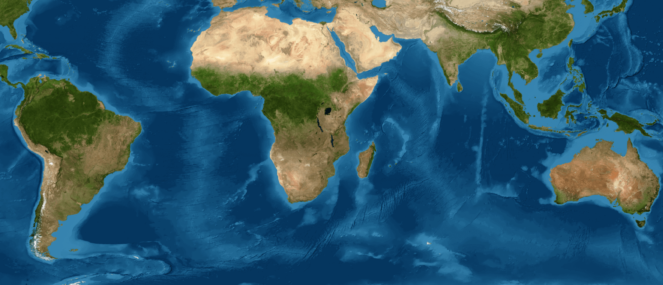
MapBiomas is a global, multi-institutional network of universities, NGOs, and technology companies that monitors changes in land cover and land use across territories and their impacts. Founded in Brazil, MapBiomas is currently present in 14 countries: all of South America and Indonesia. Based on open and collaborative science, the network relies on a platform that integrates satellite imagery, machine learning, and cloud computing. All data, maps, methods, and codes are publicly available free of charge. The information generated by the MapBiomas network can be used by decision-makers, public policy makers, researchers from a wide range of fields, teachers and students, civil society organizations, and companies.
OUR PURPOSE
To unveil the transformations of Argentine territory through science, with precision, agility, and quality, making knowledge about our territory's land cover and land use accessible. We aim to enhance decision-making processes in areas such as conservation, sustainable natural resource management, and adaptation and mitigation to climate change.
INITIATIVE FEATURES
- Networking with academic institutions, NGOs, and technology companies from different regions of the country and cross-cutting themes.
- Decentralized and automatic cloud data processing through a partnership with Google Earth Engine.
- The platform is open to all users, who can access the data and methodology.
- The data is published as soon as it is generated, explicitly indicating the limitations of the information. At the same time, we receive suggestions for adjustments and improvements from different users of the platform, which are evaluated by our teams and contribute to promoting improvements.
ORIGIN
MapBiomas originated in Brazil at a seminar held in March 2015 in São Paulo, where specialists in remote sensing and vegetation mapping were invited by the Climate Observatory's Emissions and Removals Estimation System (SEEG) to discuss a fundamental question: how to produce annual land use and land cover maps for the whole of Brazil in a significantly cheaper, faster, and more up-to-date way compared to existing methods and practices, as well as recovering the history of the last few decades? This would require unprecedented processing capacity, a high degree of process automation, and the collaboration of a community of experts in each area. On this basis, technical cooperation was established with Google, using the Google Earth Engine platform as a basis, with training provided in Mountain View, California.
In Argentina, MapBiomas began in 2017 with the mapping of the Gran Chaco Americano, together with Bolivia and Paraguay. In 2019, mapping was extended to the regions of Atlantic Forest and the Pampas, with Paraguay, Brazil, and Uruguay. In August 2023, the initiative was consolidated at the national level, with the aim of understanding the transformation processes occurring throughout the territory using remote sensors, capitalizing on the experience of local groups in Argentina. MapBiomas Argentina represents a qualitative leap in the automation of processes and the generation and dissemination of spatially explicit information on the Argentine territory in an open, free, and accessible manner. Its objective is to generate annual collections of land cover and land use maps for the entire country based on the local adaptation of the methodology developed in Brazil.